BlogPost
Future Trends in UAS Technology
3 min read
EASA and DJI: A New Step Toward Safer and More Informed Drone Operations in Europe
Summary:
EASA and DJI: A New Step Toward Safer and More Informed Drone Operations in Europe Staying informed about where and how to fly legally is one of the most important responsibilities of any drone operator. In January 2026, the European Union Aviation Safety Agency (EASA) announced an important collab...
EASA and DJI: A New Step Toward Safer and More Informed Drone Operations in Europe
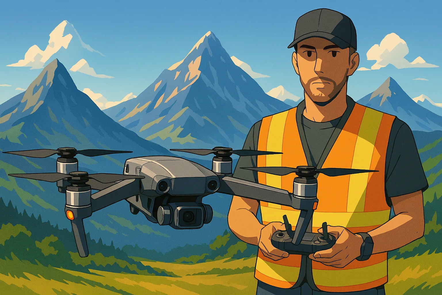
Staying informed about where and how to fly legally is one of the most important responsibilities of any drone operator. In January 2026, the European Union Aviation Safety Agency (EASA) announced an important collaboration with DJI — the world’s largest drone manufacturer — to improve geo-awareness, safety, and regulatory compliance for all pilots across Europe. At 120mAGL, we believe that safe skies mean creative freedom. This update represents a major shift toward clearer, more reliable information for drone pilots and professionals who depend on accurate airspace data.Why This Collaboration Matters
A key part of the European Drone Rules is ensuring that drone operators always have access to up-to-date information about UAS Geographical Zones (UGZ) — the official areas that define where drones can and cannot fly. Until now, operators often relied on manufacturer maps that didn’t always align perfectly with official government data. With this collaboration, that changes. EASA and DJI have aligned their systems so DJI drones will rely exclusively on official UGZ data published by national aviation authorities (NAAs). This ensures that when pilots plan a flight, the information presented on DJI products reflects the true, legal restrictions in that area.What Changes in January 2026?
Here are the key updates:1. DJI Removes Its Old “Fly Safe” Data Sets
DJI first introduced Fly Safe in 2013 as a voluntary tool to prevent flights in restricted areas. However, as of January 2026:- Old Fly Safe data has been removed
- DJI’s class-labelled drones now rely only on official UGZ map data
2. Official UGZ Maps Are Now the Only Authoritative Source
UGZ data is defined and updated by each EU Member State. EASA hosts a central access point to all official national maps Whether you fly a DJI drone or another brand, every operator must consult these official maps before each flight to ensure:- Safety
- Legal compliance
- Awareness of local restrictions
- Updated understanding of temporary or permanent no-fly zones
3. Greater Awareness Means Safer Operations
EASA and DJI’s work together aims to make pilots more aware of airspace rules and reduce incidents involving unauthorized flights. This benefits:- Professional drone pilots
- Recreational flyers
- Businesses relying on aerial services
- Government and aviation authorities
- The general public
What This Means for Drone Operators and Clients
As professionals in aerial imaging, we at 120mAGL welcome these changes. Accurate, official geo-awareness is essential for:- Safe operations
- Legal compliance
- Protecting clients’ projects
- Maintaining high standards in commercial drone work
Where to Get the Official UGZ Data
You can always find the latest information directly from EASA’s centralized page: This resource links to each Member State’s official geographical zones — the only source that should be used for flight planning.Final Thoughts
Regulations evolve, technology improves, and the drone industry continues to grow. The collaboration between EASA and DJI marks a significant step toward a safer, more harmonized flying environment across Europe. For drone operators like us, it’s simple:At 120mAGL, we remain committed to operating with full compliance, professionalism, and precision — always with safety at the heart of our mission. If you have questions about safe aerial operations or want professional drone services backed by rigorous compliance, we’re here to help.Better data = safer flights = better results for our clients.
Original article:

About the Author
Roberto Gramellini
Aviation expert and UAS regulations specialist with extensive experience in EASA compliance and drone operations. Passionate about making complex regulations accessible to drone pilots across Europe.
EASA UAS Regulations
ENAC Italian Compliance
Drone Safety Procedures
Aviation Law
Remote Pilot Training
EASA Regulatory Compliance Notice
This content is for educational purposes only and is based on EASA regulations current at the time of generation.
Always consult the official EASA documentation and your local aviation authorities for the most current regulations and legal compliance requirements before operating any UAS.